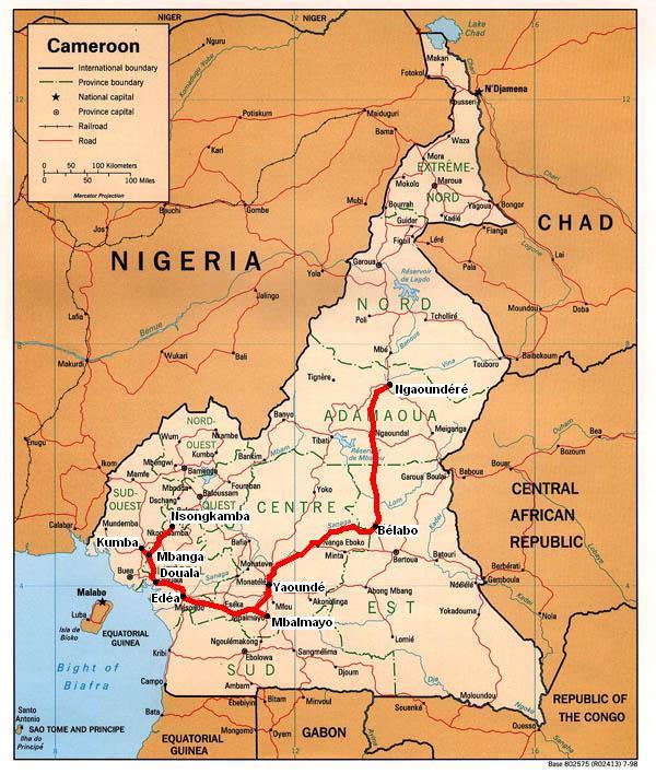
The pictures displayed in the attached gallery relate to a much earlier era in railway development here. These date back to the period around 1916 following the takeover of the then German colony by British & French forces. As no information was received with the glass negatives it is a matter of pure speculation as to what they depict. They were most likely taken by a British Army engineer as most relate to the repair of a bridge over the Mombe brook? probably damaged during the conflict. As French forces captured the major part of Kamerun, these are somewhere on the western line from Douala to Nsongkamba, the first section of which to Njombe (89km) had been opened in 1909. The remaining section to Nkongsamba (160km) opened in 1911 with any plans for further extension on towards Lake Chad having been abandoned due to the difficult terrain.
Six pictures on the Regie des CF du Cameroon in 1974 have since been added, along with 8 at the Cameroon Development Corporation's HQ at Tiko and 2 at Victoria on their 600mm gauge system.
To view any full size image and caption details please click the maroon button below each thumbnail


